In the late summer doldrums of 2021 I finally pulled the trigger on a journey which had been looming over me for 3 summers…
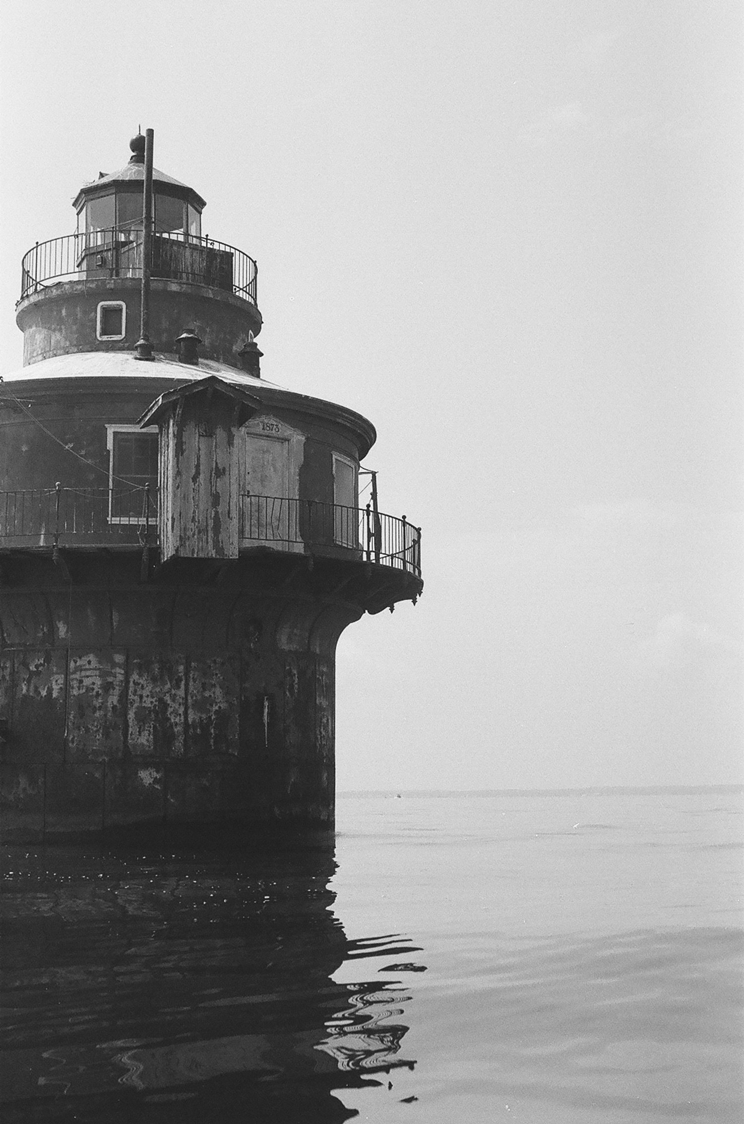
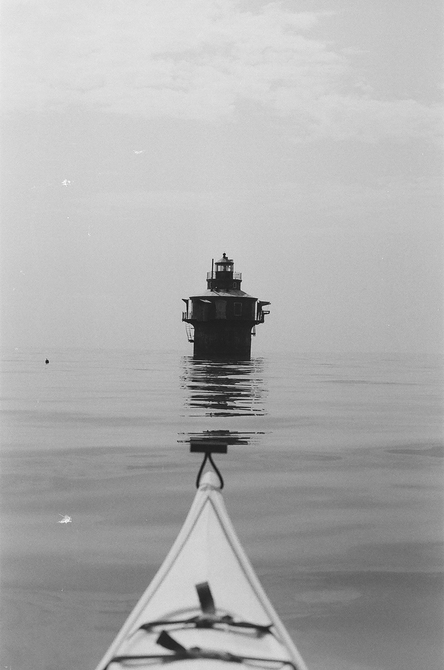
Approaching the light. Water this flat is rare on the open bay and provided a unique opportunity to attempt my longest-yet paddle.
For the last 4 years I have been fortunate enough to spend most of my summer on or around the waters of the upper Chesapeake Bay, just north of Back River. There is no shortage of markers in these waters. After dark, looking straight south the channel markers and range lights create a navigable twinkling light show. But there is one short, stout tower that always caught my attention. Barely visible on the horizon from the back river, the “Craighill Channel Front Range Light” as it’s labeled on the charts, is positioned just north of the Baltimore Harbor, approximately five miles south from where I launch my boat.
Seated in a sea kayak, my hips are essentially level with the surface of the water, making the view of the feature scarce on a good day. The base of its stocky silhouette sits slightly beneath the horizon line. With any weather on the Bay, the view of the light comes in and out of sight even in mild waves. Ten miles round trip is a relatively short journey for what an adequate sea kayaker is capable of, but the distance wasn’t really what gave me pause in the past when I thought about attempting the voyage. It was knowing that once I would leave the Upper Range Light behind me, I would be in open water without the comfort of nearby shoreline or familiar landmarks to orient. Moreover, I lacked the self-rescue skills necessary to responsibly undertake such a voyage. So during the summer of 2020 I changed that. I spent hours with my kayak in a swimming pool learning how to roll, re-enter, recover, bail, etc… (It turns out that advanced paddling techniques look much easier on a YouTube video than they are in reality). When I felt comfortable in the pool, I started practicing more in the shallows of the bay until I ultimately felt competent to a reasonable degree.
View of the light (the small dot on the right side of the image) from the southern end of the pleasure island channel.
Navionics chart of the Northern Chesapeake and my proposed route to the light. To the west out of frame is the Baltimore Harbor.
During a string of abnormally still (and hot) days in August - I realized I had a window to go for it. After confirming forecasts and finalizing my plan, I packed my boat, covered myself in an enormous amount of protective sun gear and set out.
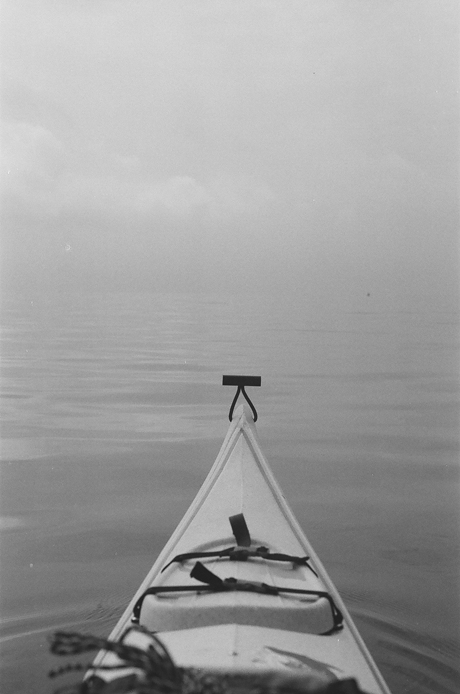
The conditions were bizarre. I left the Upper Range Light and Pleasure Island behind me and immediately felt the vastness of the bay as my field of view was consumed by the slick, flat water. The horizon was nearly indiscernible in the silvery haze that blurred the division between water and sky. It was brutally hot and void of any breeze. I was a sweaty, suncreen-grease soaked mess… but I was flying towards my objective. The complete lack of wave action meant I could cruise south with relative ease. The further out into open waters I went, the smaller my kayak felt, and the bigger the bay around me. This sensation was only magnified as I approached the lighthouse itself.
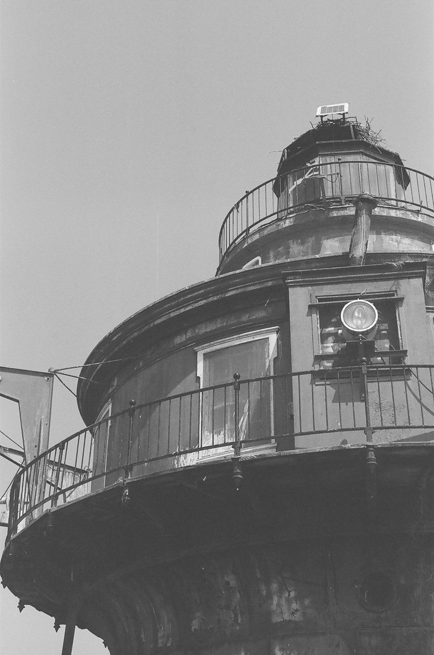
Stout it might be, but not exactly small. When I got within a few hundred feet of the light I could stop paddling and let the current drag my boat towards it while I took some photos. Nearby I noticed some fins breach the surface, probably cownose ray activity… which was pretty cool to witness, as rays are essentially non-existent in the waters I launched in, just five miles north. A couple men in a boat much larger than my kayak were fishing nearby. I felt a touch of envy as I watched them simply power up their motor and disappear into the distance leisurely. I pulled my Kayak into an eddy on the base of the light, and rested in its shadow before turning back north.
More important than meeting this somewhat arbitrary “point on a map” objective, I learned to embrace the vastness of the open waters from my kayak. When I left the comfort of the shoreline behind… I felt a world of new potential open to me.
